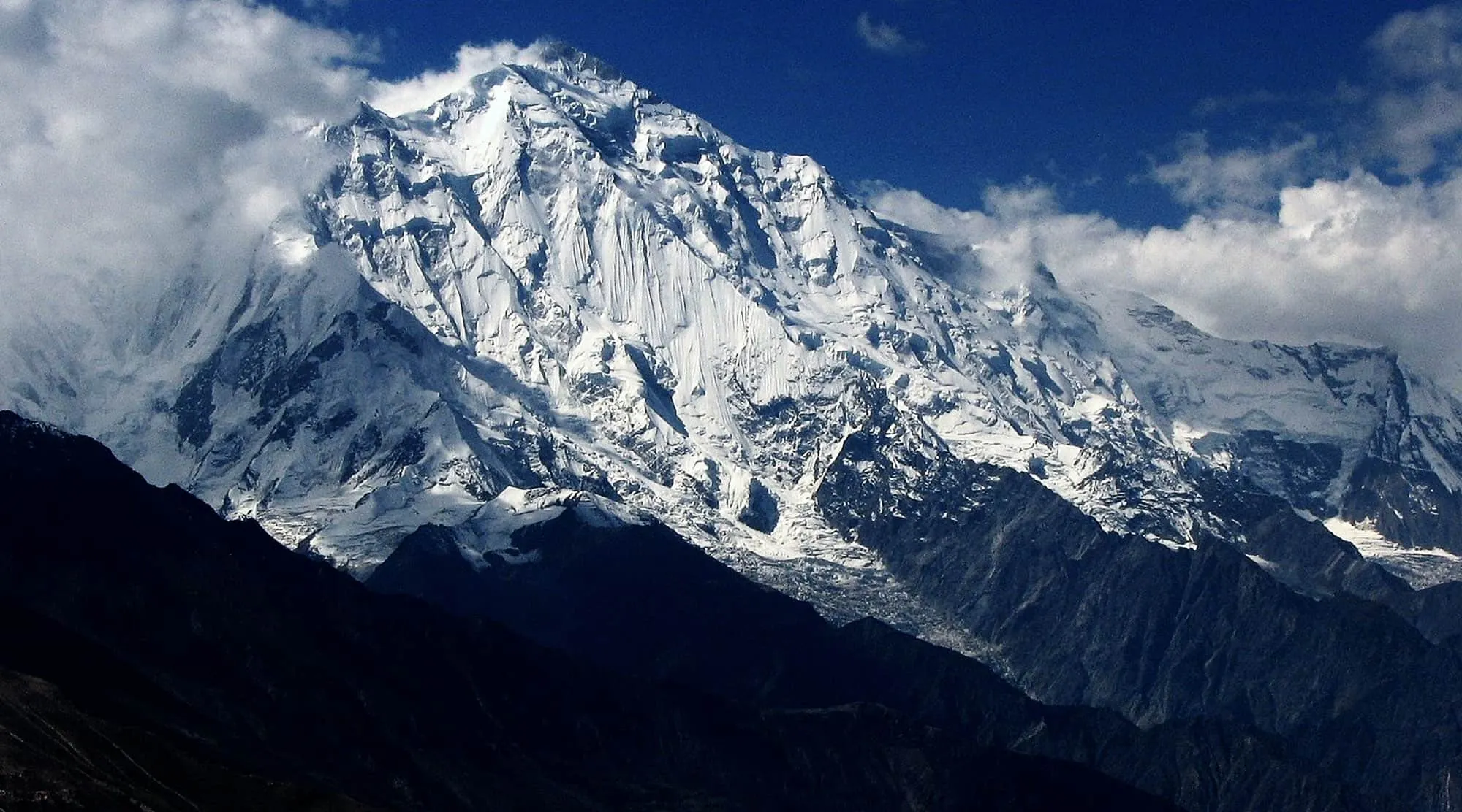
Hunza is the valley everyone pictures when they imagine northern Pakistan: terraced apricot orchards along the Karakoram Highway, old stone forts above the river, and Rakaposhi filling the skyline. Its Ismaili communities, speaking Burushaski and Wakhi, are known for their hospitality and famously high literacy.
Karimabad and the forts
Karimabad is the hub. Above it stands Baltit Fort, the former seat of the Mirs who ruled Hunza, restored by the Aga Khan Trust for Culture and open for the view down the valley. A short way on is Altit Fort, the older of the two at over 900 years, with its Shikari Tower above the orchards.
Attabad Lake and upper Hunza
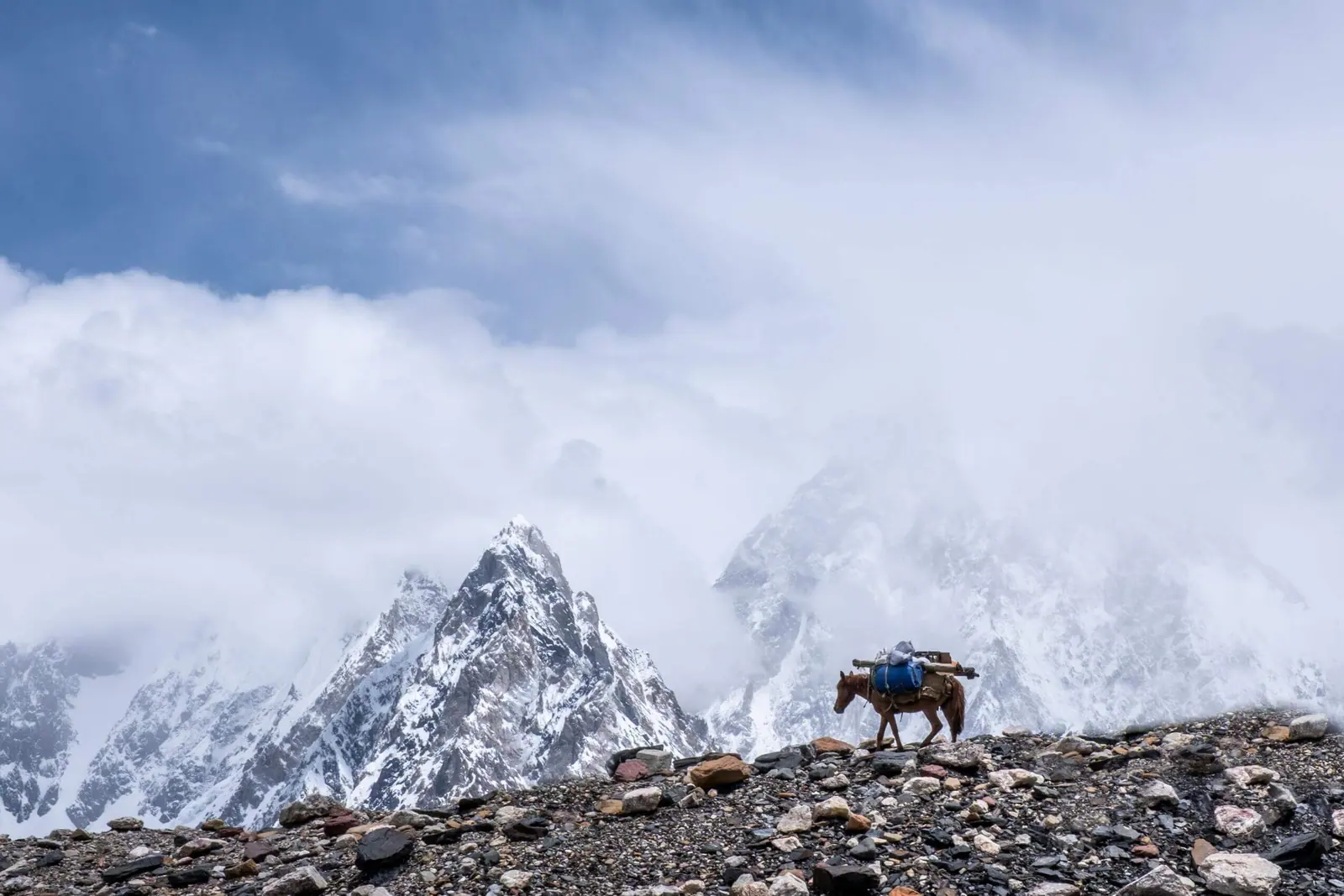
Downstream, the Karakoram Highway runs along Attabad Lake, a startling turquoise reservoir formed when a 2010 landslide dammed the Hunza River; the road now tunnels around it. Further up are the Passu Cones — the serrated granite ridge of Tupopdan — and the snout of the Passu Glacier, both easy to reach from the road.
Khunjerab Pass
At the top of the valley, at 4,693m, the Khunjerab Pass is the highest paved border crossing in the world, marking the frontier with China. It is a long day trip from upper Hunza and open only in the warmer months.
Rakaposhi and the Eagle’s Nest
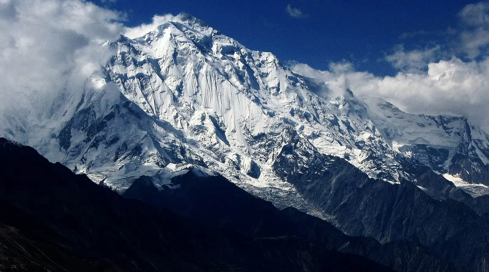
For the classic view, climb to the Eagle’s Nest viewpoint at Duikar above Karimabad at dawn, with Rakaposhi (7,788m), Ultar and the Lady Finger spire lined up across the valley. There is also a roadside Rakaposhi viewpoint on the Highway at Ghulmet for the postcard shot.
When to come
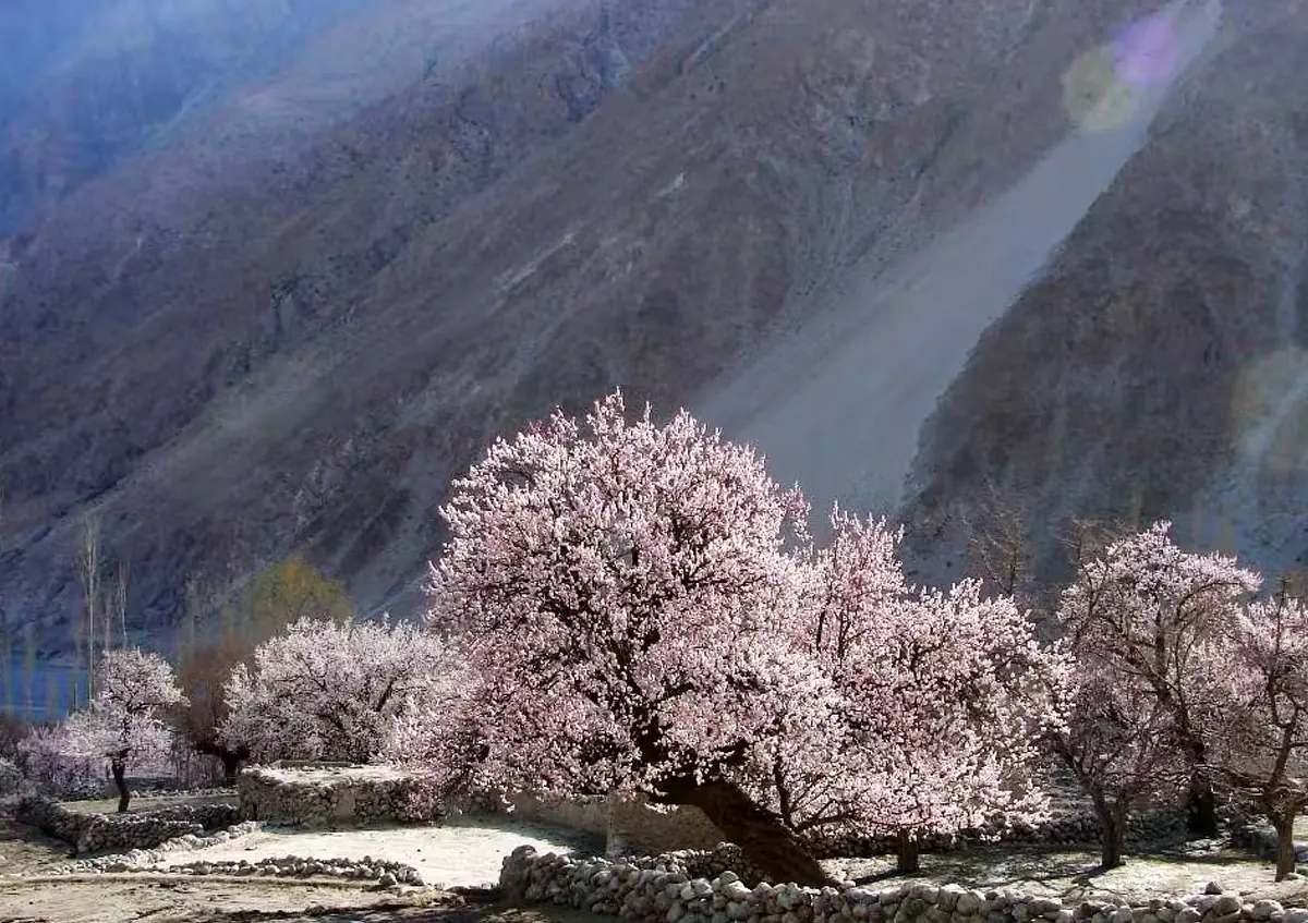
April brings the cherry and apricot blossom the valley is famous for; summer is green and good for trekking; September and October turn the orchards gold. Upper Hunza roads can close in winter. The usual approach is to fly Islamabad to Gilgit — weather permitting — then drive up, or take the Karakoram Highway overland.