K2 Gondogoro La Trek
Request a quoteExplore
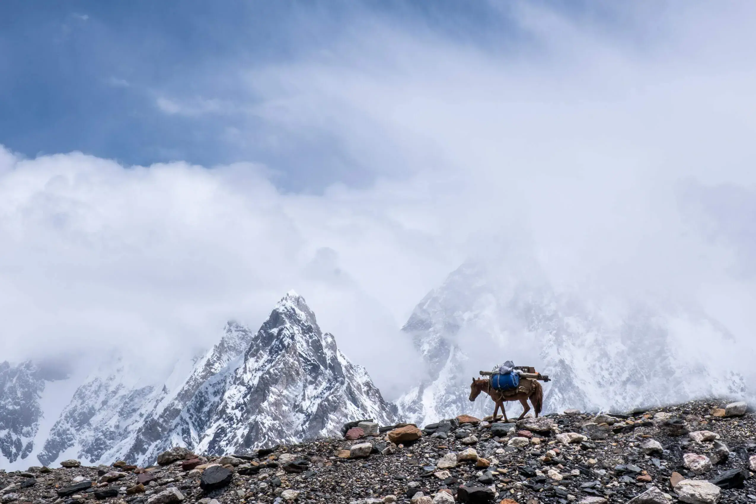
A twelve-day journey up the Karakoram Highway: a short trek to Fairy Meadows and the Nanga Parbat base-camp viewpoint, then Hunza, Attabad Lake and the Khunjerab Pass.
Per person in USD, full-board — the larger your group, the lower the per-person cost. We confirm your exact all-in figure in writing before any deposit.
| Group size | Per person |
|---|---|
| 7–10 people | $1,650 |
| 4–6 people | $1,950 |
| 1–3 people | $2,400 |
Excludes international flights, Pakistan visa, insurance, personal equipment and tips.
Guaranteed small-group dates for the 2027 season. Prefer your own dates? Every trip can also run privately inside its season window.
| 15 Jun 2027 → 26 Jun 2027 | Book this date |
|---|---|
| 5 Jul 2027 → 16 Jul 2027 | Book this date |
| 25 Jul 2027 → 5 Aug 2027 | Book this date |
| 10 Aug 2027 → 21 Aug 2027 | Book this date |
| 28 Aug 2027 → 8 Sept 2027 | Book this date |
This twelve-day journey follows the Karakoram Highway from Islamabad to the Khunjerab Pass, pairing a short trek to Fairy Meadows and the Nanga Parbat base-camp viewpoint with several days in Hunza. It suits travellers who want the big peaks and the valley villages in one trip, with a modest amount of walking.
The first stage is the Raikot side of Nanga Parbat (8,126 m), the ninth-highest mountain in the world, in the Diamer district of Gilgit-Baltistan. A jeep ride from the Raikot Bridge to Tato is followed by a 3–4 km uphill walk to Fairy Meadows at about 3,300 m, then a lighter day to Beyal Camp and a full day out to the base-camp viewpoint at about 3,900 m. Three nights at the meadow give some margin if cloud covers the mountain when you arrive.
From Gilgit the highway runs up the Hunza valley, with Rakaposhi (7,788 m) rising close to the road. Karimabad is the base for the restored Baltit Fort and the older Altit Fort; further north, Attabad Lake was formed in 2010 when a landslide dammed the Hunza River, and the Passu Cones stand above the road beyond Gulmit. The last big day is the road to the Khunjerab Pass (4,693 m) on the border with China.
Much of the effort is in the vehicle rather than on foot. The Karakoram Highway is a mountain road, so distances that look short on a map take hours, and the first and last days are long drives. The walking is concentrated at Fairy Meadows on Days 2 to 4, which is why we grade the trip Moderate overall; the Hunza days are gentle underfoot.
This itinerary runs from June to September, when Fairy Meadows is reasonably clear of snow and the road to Khunjerab is normally open. Within that window the character of the trip shifts a little from month to month.
12 stages over 12 days, starting and finishing in Islamabad. Routes can be shortened, extended or privately dated.
Leave early and climb out of the plains through Abbottabad and Mansehra to meet the Indus at Thakot. From there the Karakoram Highway runs upstream beside the river, past Besham and Dasu, narrow and slow in places with rockfall and roadworks possible. Expect to reach Chilas, the main town of Diamer, in the evening.
A morning drive from Chilas to the Raikot Bridge, then local jeeps up the narrow track to Tato village. The 3–4 km walk from there to Fairy Meadows (about 3,300 m) takes two to three hours at a steady pace, and porters are available if you would rather carry only a day pack. Cloud often builds later in the day, so the first clear view of the Raikot face of Nanga Parbat may wait until morning.
A shorter walking day to settle at altitude: through forest to Beyal Camp, a high pasture and campsite on the way to the base camp, and back to the meadow in the afternoon. Go slowly, drink plenty and watch the mountain. If cloud has not lifted yet, this day and the next give further chances of a clear view.
A full day on foot, out and back to the base-camp viewpoint at about 3,900 m, and the main physical effort of the trip. Above Beyal Camp the ground becomes more open and stony, with the Raikot face filling the view when the weather allows. We start early, keep a slow pace and turn back if the weather or anyone's condition calls for it.
Walk down to Tato, take the jeeps back to the Raikot Bridge and rejoin the Karakoram Highway towards Gilgit. Before Gilgit the road passes the confluence of the Indus and Gilgit rivers, where the Himalaya, Karakoram and Hindu Kush ranges are said to meet. Overnight in Gilgit.
Drive up the Hunza valley, stopping at the roadside viewpoint for Rakaposhi (7,788 m), which rises steeply above the highway. Arrive in Karimabad in the afternoon and walk up through the old lanes to Baltit Fort, now a museum, for views of the valley and the peaks around it.
This day is kept light so that, if needed, it can absorb a delay from earlier in the trip. Altit Fort, the older of the two forts, stands on a cliff above the Hunza River with the old village lanes below it. The afternoon is free for the bazaar, or for the drive up to the Duikar viewpoint (Eagle's Nest) for the evening light on Rakaposhi and its neighbours.
Drive north to Attabad Lake, formed in 2010 when a landslide dammed the Hunza River and submerged a stretch of the old highway. The highway now passes beside it in tunnels, but a short boat ride gives a proper look at the turquoise water. Continue past Gulmit to Passu, where the jagged Passu Cones rise above the river, and stay the night there.
An early start from Passu through Sost, the last town before the border, where there is a checkpoint, so carry your passport. The road then climbs through Khunjerab National Park to the Khunjerab Pass at 4,693 m, where the air is thin and cold and the stop is kept short. Wildlife such as ibex or marmots is possible but never guaranteed; we return to Passu for the night.
A long day driving back down the Hunza valley, past Attabad Lake and Karimabad, with stops where light and time allow. That includes a second look at Rakaposhi if cloud hid it on the way up. Overnight in Gilgit.
These are the standard inclusions for our trekking programmes and are confirmed in writing on your final itinerary before any payment is taken.
The effort is concentrated on Days 2 to 4: the 3–4 km uphill walk to Fairy Meadows at about 3,300 m, then a full day to the base-camp viewpoint at about 3,900 m. The Khunjerab Pass at 4,693 m is the high point of the route, but it is a day trip from Passu, so you sleep lower than at Fairy Meadows.
No. Snow, landslides or border-post arrangements can close the road, although it is usually open in the June to September window of this trip. If it is closed, we spend the day around Passu and Gulmit instead.
Landslides tend to follow heavy rain, especially in July and August, and can add hours to a day or, occasionally, more. We watch conditions as we go and adjust the day's plan, and we suggest keeping a day in hand before an international flight.
Yes. Our five-day Fairy Meadows short trek covers the Nanga Parbat side on its own, and our eight-day Hunza Valley Classic covers Hunza without a trek. This twelve-day trip joins the two and gives more time at Fairy Meadows, including a full day to the base-camp viewpoint.
This is graded moderate. You should be comfortable walking for several hours a day, on rough ground, across 12 Days. Porters carry the main loads; you carry a light daypack. If you tell us your recent hill days we will give you an honest answer.
The reliable window is June – September. Outside that, conditions on the route make it either unsafe or not worth the money. We can run private departures on any dates inside that window.
2–14. Smaller and private groups are available and often cost less per head than you would expect — ask us for a quote on your own dates.
The headline is the per-person rate for a standard group of 7–10; smaller groups pay a little more per head because fixed costs — guide, permits, liaison officer and transport — are shared across fewer people. Prices are full-board, and we confirm your exact all-in total in writing before any deposit.
No reviews yet — be the first to review the hunza + fairy meadows + nanga parbat base camp.
Practical guides to help you prepare for the hunza + fairy meadows + nanga parbat base camp: